Our retirement on Island Time as liveaboards.
Island Time crew goes to New Zealand
- South Island
Part 14
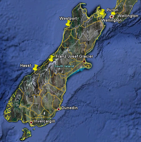
The South Island is about 500 miles north to south
Days 13 and 14
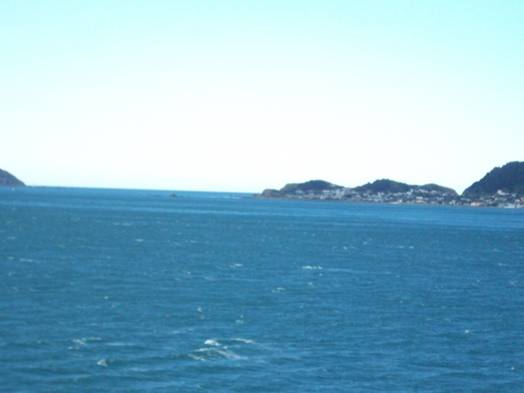
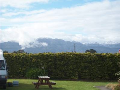
We left the campground in Wellington at 7 am to take the 8:30 ferry to Picton on the South Island. We had a beautiful sunny day for the crossing with calm seas.
 The route of the
ferry from Wellington on the North Island to Picton on the South Island
across Cook Straight (what other name would one expect in this area?)
The route of the
ferry from Wellington on the North Island to Picton on the South Island
across Cook Straight (what other name would one expect in this area?)
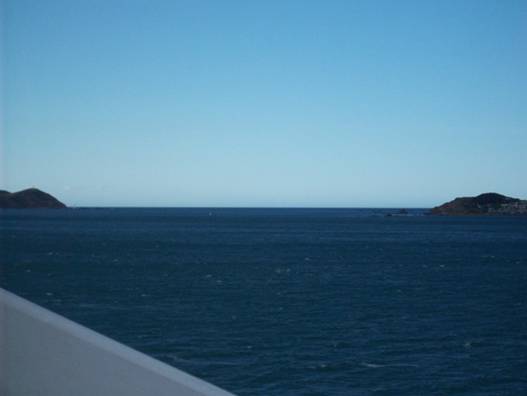
Leaving
Wellington Harbour
After leaving the harbor the boat turns west and the faint outline of
the South Island appears on the horizon
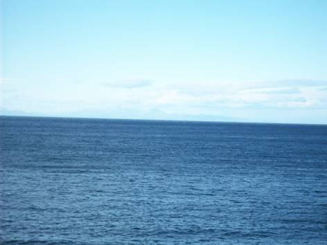
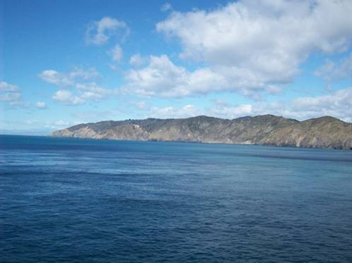
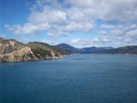
Approaching the South Island
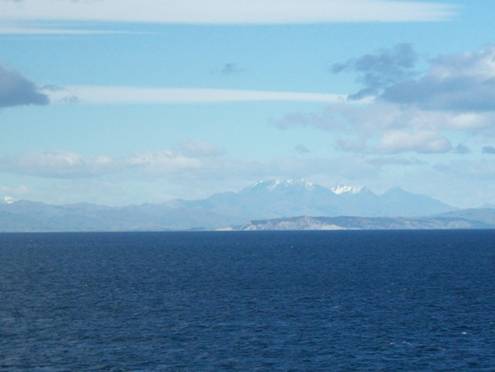
Heading
for the opening to the channel, there is a range on the hillside
that guides the ferry to the channel opening
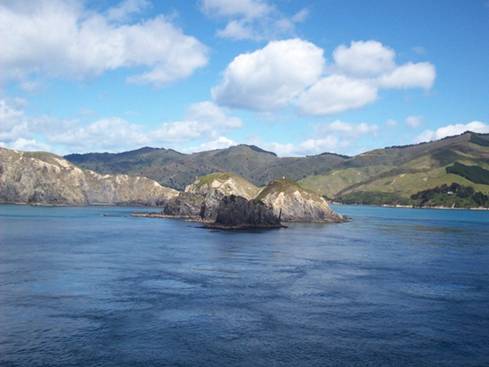
Entering
the channel
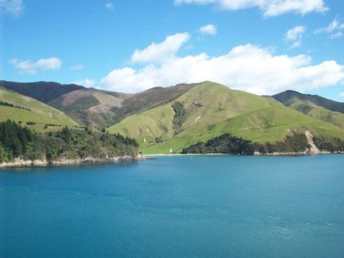
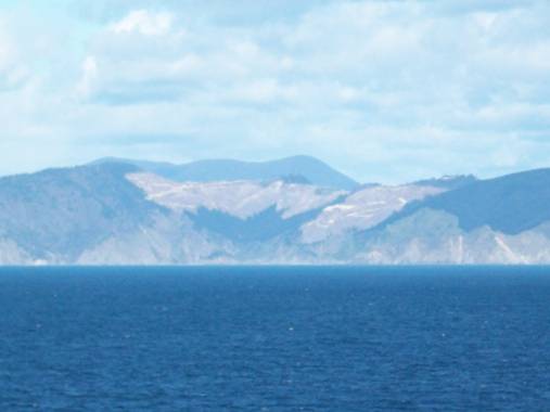
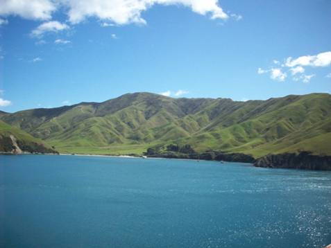
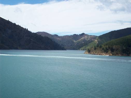
Landscape
along the channel
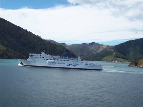
The ferry
bound for Wellington
We
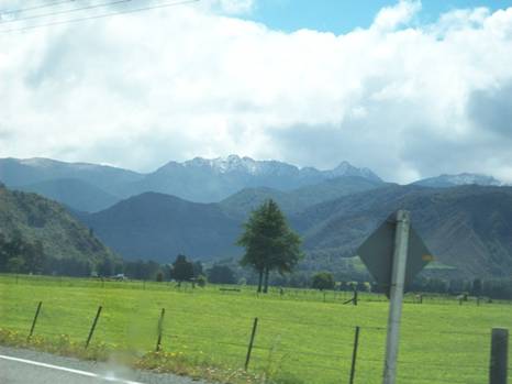
arrived in Picton about midday and then we headed west across the island
towards Westport on the west coast.
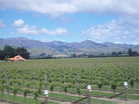
One of the many vineyards we passed in the flat sections of the island.
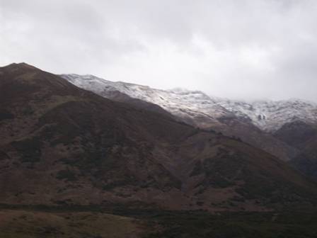
We had to cross the Southern Alps that run the length of island in a
north south alignment
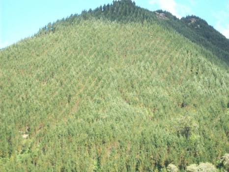
There are large areas being logged. This area was logged a while ago –
the site was re-vegetated, notice the straight lines of trees
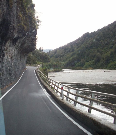
The roads follow rivers. Here the rock went straight down to the
river. The road was cut into the rock face. The road was cut only one
lane wide so only one car at a time can pass. Fortunately there was
very little traffic on the road.
Our
campsite in Westport on the west side of the alps.
We stopped in Westport (S 41 degrees 44.98 minutes; E 171 degrees, 33.4 minutes) on the Tasman Sea. Along the way we saw one Weka (a New Zealand flightless bird) and about 10,000 sheep. The campsite was across the street from the ocean but as I had a bad cold we passed on a walk on the beach.
The only mammals that New Zealand had originally were mammals that could swim such as seals. That’s one reason that flightless birds developed here due a lack of predators. However, when Europeans started populating the island they imported mammals of all sizes for food and sport. Some of the imported animals decimated the flightless bird population.
From Westport we headed south along the coast on the narrow strip of land between the alps and the sea. The road took us by the two famous glaciers in New Zealand, Franz Josef and Fox. However, it was a rainy day with low clouds over the mountains so we did not get good views of the glaciers. All the towns along the west coast are very small with one or two gas stations, small groceries, a cluster of homes and that’s it. All the large cities are on the east coast.
We headed for Haast where a colony of yellow crested penguins are located. But as luck would have it they had not returned to the area as yet so no penguins today. We stayed the night in Haast at a campground that was near the ocean (S43 degrees 54.5 minutes; E 168 degrees, 54.1 minutes). The following pictures are along the coast on the way to Haast.

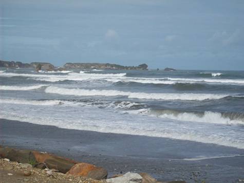
Tasman Sea
– it had been windy for a few days and the surf was up
Visitors
2011
Grenadines
New
2010
Martinique
St. Lucia
Trinidad
2009
New
Zealand P.16
New
Zealand P.15
New
Zealand P.14
New
Zealand P.13
New
Zealand P.12
New
Zealand P.11
New
Zealand P.10
New
Zealand P.9
New
Zealand P.8
New
Zealand P.7
Australia
Part 6
Australia Part 5
Australia
Part 4
Australia Part 3
Australia Part 2.5
Australia Part 2
Australia Part 1
Tyrell
Bay
View Past Logs![]()
2008 Winter
Carnival
![]()
Visitors Part
1
Visitors Part 2
March Visitors
Union Island
Easter Regatta
St. Vincent
Inland
Tour
April
Visitors
Young Island
Mustique
Mayreau
![]()
2007 Spring
Martinique
Bequia
2007 Winter![]()
2006 Summer
2006 Winter
2005 Fall
Photo
Albums
Maine
Aug 2006
Trinidad, Feb 2008
Slideshow
Trinidad, Grenadines
![]()
![]()