Our retirement on Island Time as liveaboards.
Island Time crew goes to New Zealand
Part 10
New Zealand Days 7 and 8
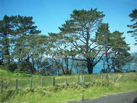
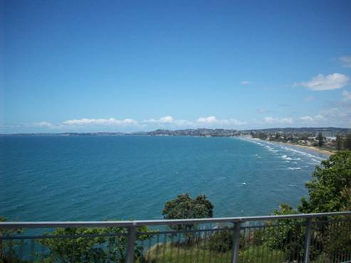
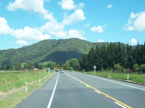
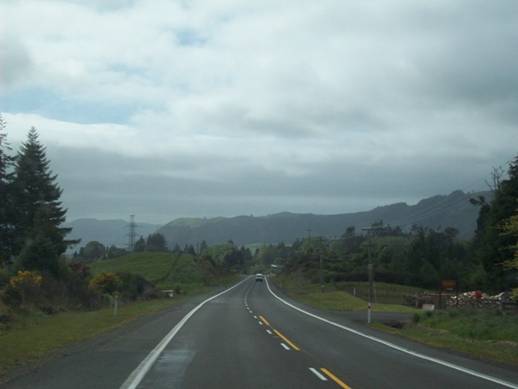
We left Piahia and headed south with our goal being Whaketane on the Bay of Plenty. Our first night we stopped in Cambridge (S 37 degrees 54.4 minutes; E 175 degrees 28.8 minutes) and arrived in Whaketane (S 37 degrees 56.9 minutes; E 175 degrees 28.8 minutes) midday the following day. The following are pictures along the way.
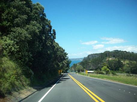
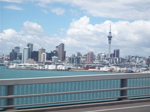
Auckland
from the motorway
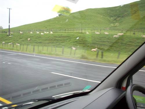
Some of
the 40 million sheep in New Zealand – 10 sheep for every New Zealander
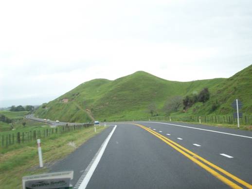
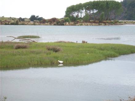
The road took us by a series of lakes, Lake Rotorua (This is a sunken volcano and makes almost a perfect circle.), Lake Rotoiti, Lake Rotoehu, and Lake Rotoma. All these lakes begin with roto which is Maori for lake. Between these lakes and Whakatane is an area of thermal activity and the smell of sulfur is in the air as we drive thru pastureland (didn’t seem to bother the sheep).
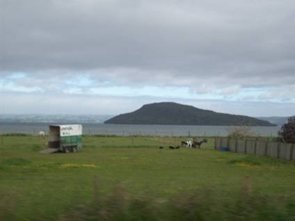
Lake
Rotoura
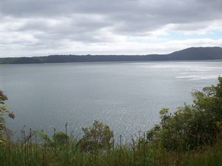
Lake Rotoiti
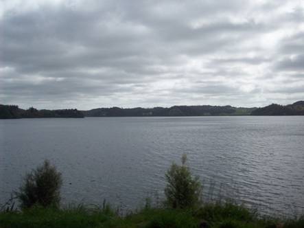
Lake Rotoma
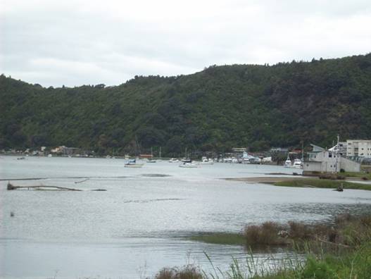
Waterfront of Whakatane on the Whakatane River
Whakatane (Wh pronounced like p) is a small village nestled along the river on a sliver of flat land at the base of the mountains. This area was first settled over a thousand years ago by a Maori group led by Tiwakawaka the grandson of Maui the original discoverer of Aoteatoa/New Zealand followed by the Toi several generations later and then two hundred years later the last great migration led by Toroa captain of the waka (canoe) Mataatua.
Toroa had beached the waka in the river and the men went exploring leaving the women on the waka and when the tide changed the waka was being pulled out to sea. Toroa’s daughter, Wairaka, on the waka called out “El Kia whakatane au I ahau” - “let me act the part of a man” and against tradition she and the other women paddled the waka back to safety and that’s where the name Whakatane originated. There is a statue of Wairaka on the rocks that form the entrance to the Whakatane river.
The first European settlers arrived in 1830 and were comprised of whalers, sealers and missionaries. The area became a thriving shipbuilding center for ships that carried maize, potatoes, wheat and flax to the northern part of the island.
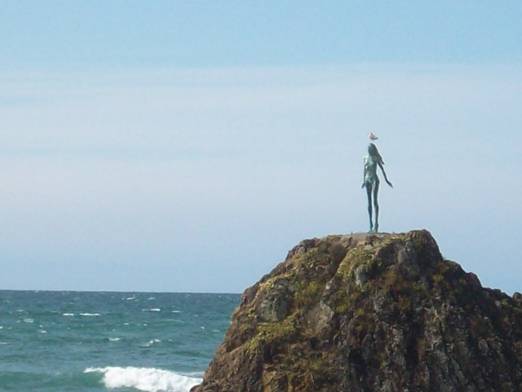 Wairaka’s statue on one of the rocks
lining the entrance to the river.
Wairaka’s statue on one of the rocks
lining the entrance to the river.
(That’s a sea gull sitting on her head)
There is a dike constructed between the village and the river. On the top of this they have constructed a recreation path which the campground abuts, and we could walk into town along the river. The town itself had many restaurants and shops. One interesting feature was a huge rock pinnacle in the center of the shopping area that the roads went around.
Whakatane River
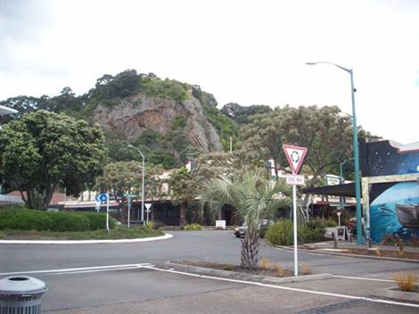
The rock in the middle of town
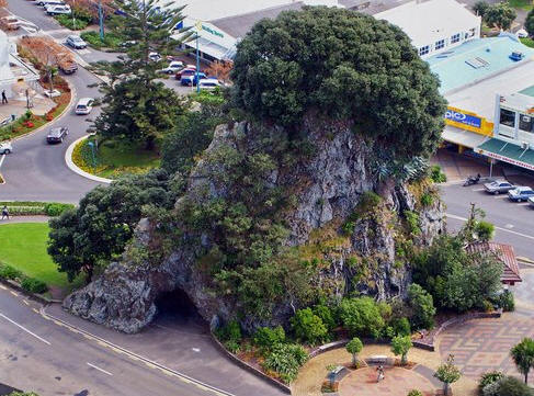
Pohatura Rock, View from nearby hill top by James
Mead (Panramio)
Visitors
2011
Grenadines
New
2010
Martinique
St. Lucia
Trinidad
2009
New
Zealand P.16
New
Zealand P.15
New
Zealand P.14
New
Zealand P.13
New
Zealand P.12
New
Zealand P.11
New
Zealand P.10
New
Zealand P.9
New
Zealand P.8
New
Zealand P.7
Australia
Part 6
Australia Part 5
Australia
Part 4
Australia Part 3
Australia Part 2.5
Australia Part 2
Australia Part 1
Tyrell
Bay
View Past Logs![]()
2008 Winter
Carnival
![]()
Visitors Part
1
Visitors Part 2
March Visitors
Union Island
Easter Regatta
St. Vincent
Inland
Tour
April
Visitors
Young Island
Mustique
Mayreau
![]()
2007 Spring
Martinique
Bequia
2007 Winter![]()
2006 Summer
2006 Winter
2005 Fall
Photo
Albums
Maine
Aug 2006
Trinidad, Feb 2008
Slideshow
Trinidad, Grenadines
![]()
![]()