Our retirement on Island Time as liveaboards.
Island Time crew goes to New Zealand
- South Island
Part 14 - continued
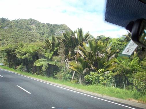
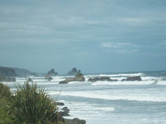
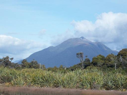
Typical vegetation along the coast
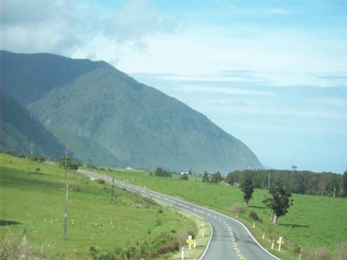
Flat areas where rivers enter the sea between the mountains which come
down to the sea
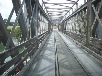
We crossed numerous one lane bridges. We assume that one lane bridges
are the norm as a way to cut down on the costs of construction and
maintenance. The traffic is so light that rarely did we meet another
vehicle going the other way. The one lane bridge in the picture also is
shared with a train – hmmm I wonder who has the right of way.
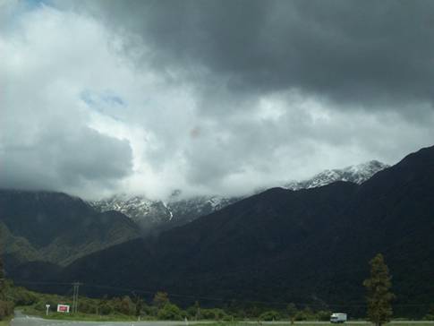
Franz
Josef Glacier – can’t really see much in the clouds
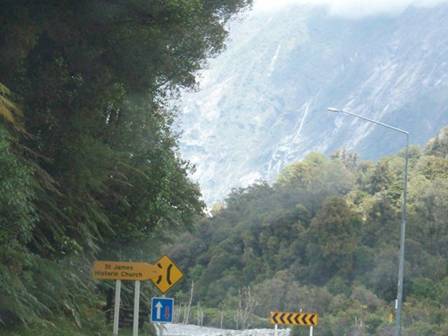
Passage
through mountains again – we are approaching a one
way bridge over one of the smaller rivers – notice the blue sign,
a large white arrow in the direction that we are going and a smaller
red arrow the other way – we assumed that the larger arrow indicated
which travel direction has the right of way
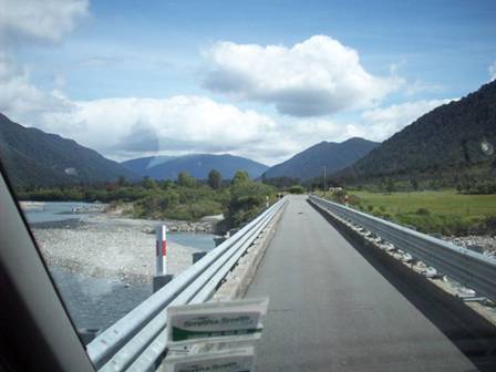
Another one lane bridge – over a large river plain - when the bridge is
very long it may have a wide spot half way across in case there are
two vehicles on the bridge at once so they can pass each other
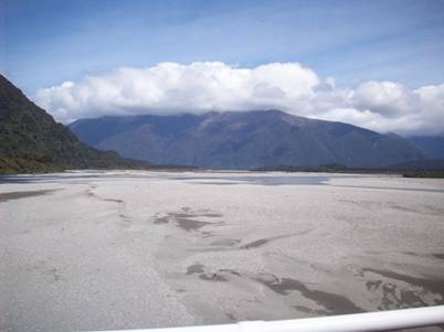
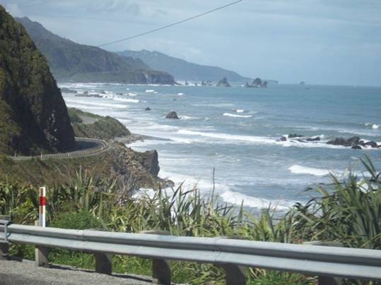
Flood plain of one of the rivers
At our campsite in Haast we were told that a path to the beach was just down the road – well we found the path but it involved climbing over a stile, walking through a pasture dodging cow patties and wetlands, climbing another stile, bushwhacking thru seaside vegetation and ending up at the mouth of a river with ocean still a long walk away. .Talk about false advertising.
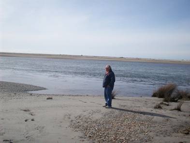
The “Beach” near our campsite in Haast – this is river that turns
parallel to the ocean see the sand bar in the background –
the ocean is one the other side of the sand bar
Haast campground view
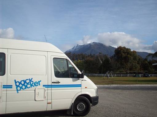
Our camper in New Zealand at the Haast campsite
Visitors
2011
Grenadines
New
2010
Martinique
St. Lucia
Trinidad
2009
New
Zealand P.16
New
Zealand P.15
New
Zealand P.14
New
Zealand P.13
New
Zealand P.12
New
Zealand P.11
New
Zealand P.10
New
Zealand P.9
New
Zealand P.8
New
Zealand P.7
Australia
Part 6
Australia Part 5
Australia
Part 4
Australia Part 3
Australia Part 2.5
Australia Part 2
Australia Part 1
Tyrell
Bay
View Past Logs![]()
2008 Winter
Carnival
![]()
Visitors Part
1
Visitors Part 2
March Visitors
Union Island
Easter Regatta
St. Vincent
Inland
Tour
April
Visitors
Young Island
Mustique
Mayreau
![]()
2007 Spring
Martinique
Bequia
2007 Winter![]()
2006 Summer
2006 Winter
2005 Fall
Photo
Albums
Maine
Aug 2006
Trinidad, Feb 2008
Slideshow
Trinidad, Grenadines
![]()
![]()